Translate

Saturday 26 August 2017


At last the MIT walk! (Yorks/Durham) August 25th 
This walk has been mulled over, discussed, proposed, put on the back burner for such a long time, but today, at last the MIT walk. The walk starts in Middleton in Teesdale, a small Pennine village. To get there take the A69 west, A68 south at Corbridge and the A 688 at West Aucland to Barnard Castle and then follow the river north west to M,in T. Alternatively head south from Witton le Wear on the A68 and follow minor roads, hoping they are sign posted. This time of year the heather is in bloom making the road across the moors well worth the drive.
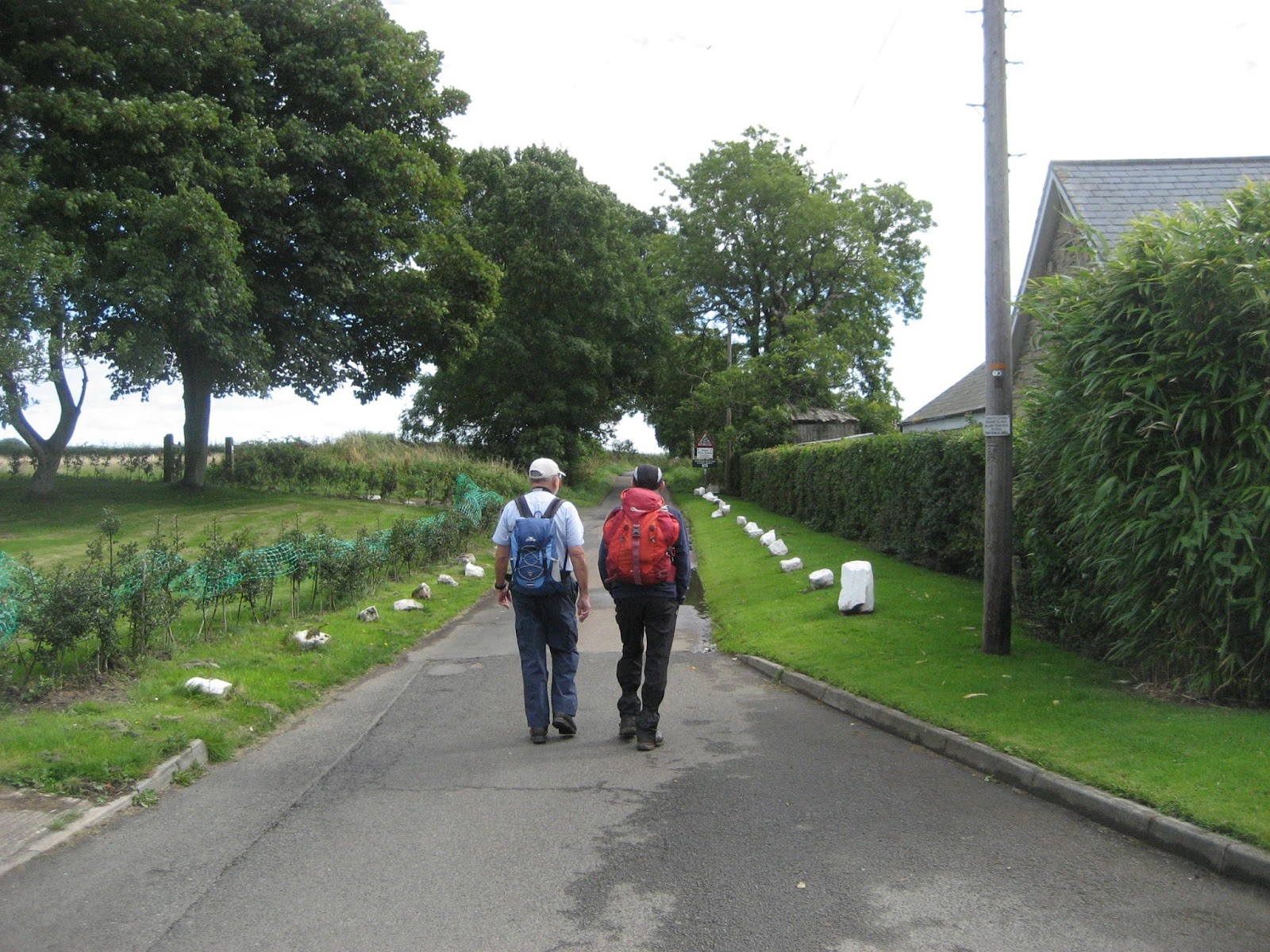
There are four of us out today,  Dave, Harry, Ben and me, squeezed comfortably into one car, comfortably. From Middleton in T main street turn down towards the river. Just before the bridge, on the left, is an old school/outdoor centre which is currently being used as a long stay Yorkshire car park, although M in T is in County Durham, Land of the Prince Bishops.

A Minnie Winnie in the car park. Left hand drive but GB plate and sticker


The map to use is OS OL 31, North Pennines.

Walking back to the main street we turned left. At the fork in the road we took the right tine and walked uphill past several cottages until we came to another fork in the road, this time going left along the one with a no through road sign.
The road eventually became a track above the Hudeshope Beck. (Note, beck, not burn or dene, we are nearly in Yorkshire. I feel so excited.).
                 Hudeshope Beck. There were quite a lot of children playing in the valley, building dens, trying to fish, paddling in the shallow stream. Just what bkids should be doing.
Eventually the track became a path through the woods. At Skears Scars we crossed the first of many stiles and walked across fields to the small farm at Club Gill.
                              Lads with style on a ladder stile
                                   Done in part with European money. Where will it come from in a few years?
At Club Gill we turned right on the road and walked a few hundred yards to the finger post on the left. This track took us through the old mining areas. From Roman times and possibly before, the upper dales of the Pennines were mined for lead, silver and zinc. On this part of the walk we past many remains, and warning signs. Heaps of spoil cover the sides of the valley, giving the impression of glacial remains, with a human hand.
                                     Spoil heaps
                                                 Be warned
              Entrance to an  adit mine.
Slightly off piste we followed a water course uphill onto Coldberry Moss, an apt name, it was quite boggy in places. Near the reservoir marked on the map we settled down behind a wall to keep out of the wind as we had a Herbie. Slim pickings again; Cherry slices, sponge cake, ginger biscuits and Titans, the poor man's Mars Bar. Slim Pickings? Really?
Lunch over we headed south west downhill until we met the old miners' track. Past more old mine workings and farms until we reached the smart little farm Stable Edge.

                Stable Edge and its guardian owl. Note the balcony on the building. Possibly it was designed and built for the ladies of the house who would knit, extra daylight on the outside.
Just beyond Stable Edge we turned right down the road to the village of Newbiggin, a long street and little else.
             Newbiggin Cottages. Many of the buildings in Teesdale are painted white,rumour say it is a condition imposed by Raby Estates, the land owner.
At the west end of the village we followed the direction indicated by a finger post, crossed fields and came to a footbridge over the River Tees.
                           Bridge over quiet waters.
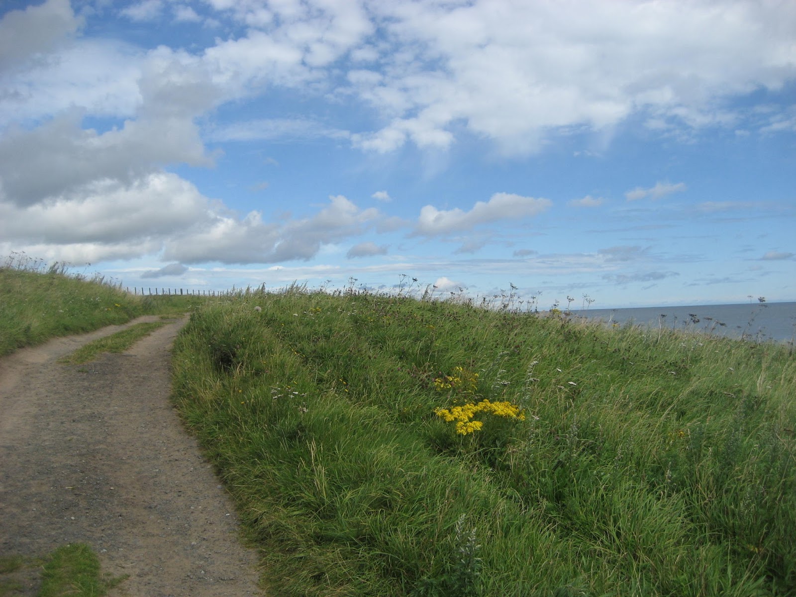
We now joined the Teesdale Way, fairly long distance footpath and part of the Pennine Way, very long footpath. Maps and compasses away, the path is easy to follow as it goes alongside the river back to Middleton in Teesdale. Most of it is well above the river and through woodland. The prettiest part of a good walk.
                       River Tees from the footbridge at Newbiggin.
Back in the village we chose the Teesdale Hotel for a well earned beer. They had three on offer; Black sheep, Sneck Lifter and another whose name I forget.

Matrix MMXVII Zx56
                                                                         steps                             miles
IPhone                                                             23722                            10.2
NAK                                                                29534                            11.65
Wrist Nak                                                        24407                             11
OUTDOOR GPS                                                                                    9.9
Dave's 3D                                                       23231                              10.32
""" USB                                                          21877                              10.35
  "" NAK                                                         21436                              10.14

And a few more pictures;  M I T, various stiles, farms, field barns, footpaths mine works and an RAF trainer 


Saturday 19 August 2017

Kippers, a castle and a coastal walk. (Northumberland) August 18th
Still not a full squad, four of us have taken note of the threatened heavy showers and strong wind and opted for another walk up the Northumberland coast. Dave, Harry, John H. and I are walking from Longhoughton to Embleton by way of Craster. A linear walk so if you choose to follow us have a car at either end or check Arriva bus X18, Travelsure bus 418. It is not a regular service, roughly a bus an hour.
To get to Longhoughton A1 north, turn east at Alnwick and follow signs. Alternatively follow the Northumberland Coastal route.
 Longhoughton is close to Boulmer, once an RAF helicopter station and radar base. It had a general store/NAAFI which is now a community centre. There is a small car park behind it, just off the main street through the village, and it's a Yorkshire car park. And as far as we could see there is no cafĂ© in the village, so no breakfast, just get on with the walk.
                            Longhoughton car park, behind the village community centre.
The whole of the walk is covered, just by OS Explorer 332, Alnwick and Amble but it is easy to follow and can be done without a map.
 We walked a few hundred yards south down the main street before turning left towards Low Stead Farm. There is a sign post, so it's easy to find. The lane goes down to the beach, the hedges on either side displayed an abundance of blackberries, early this year, but sweet.
                        The start of the Low Stead lane.
At the beach we opted for the footpath and headed north.
                The footpath just off the beach.
Not far up the path we came to Sugar Sands and Iron Scars, the latter at the mouth of the Howick Burn, the stream that comes down through woods from Howick Hall, home of the Grey family, tea flavourers.
There is a footbridge across the burn. On the south side, on the rocks, a freshwater spring empties into the sea, the low cliffs are a geologist's textbook.
                         Fresh water spring, bit of a dribble today
                      OOH look, sedimentary layers
                                   Howick Burn.
From here the footpath follows the cliff tops, passes the old coast guard cottage, now a holiday let and on to Craster.
                             First view of Dunstanburgh Castle
                               Coastguards Cottage.
Craster  (Old fort inhabited by crows)is famous for kippers, processed from herrings by smoking them. The small smoking shed is run by the Robinsons! (actually the Robsons but so near to being Smokey Robinson and the Miracles I couldn't resist being childish) The village has a fine pub, the Jolly Fisherman, noted for its crab sandwiches and fine cooking.
Being pensioners we found a bench overlooking the small harbour and called a Herbie Spot.
                        Craster harbour. The concrete block on the right pier was the terminal for a ropeway carrying stone from the local quarry.
We shared Titans, Snickers and cherrycake, washed down with tea or coffee. The real goodies will reappear when the team returns to full strength.


                                        Craster War Memorial.
Lunch over we chatted to the many visitors, some really enjoying the fine, warm day, some dragging their bored teenage offspring and many walking their dogs. We resumed the walk north, heading across the fields towards Dunstanburgh Castle.
No matter how many times I visit this ruin I am impressed. Run by the National Trust there is little left but the massive gateway, walls and the Lilburn Tower. Work started in 1314 under the direction of the Earl of Lancaster. Later John of Gaunt, who left his horse shoe at the corner of Market Street and Penny Street in Lancaster, held the castle.

                         Dunstanburgh Castle
                                       And the leaning tower of Lilburn
Beyond the castle the walk goes round the edge of Dunstanburgh Golf Course, beware of flying balls.

                      The path goes close to this fine example of an anticline. The oldest rocks are in the core and I could go on but..........................
                                                  WW2 pill box.
Beyond the golf course we walked down onto the sandy beach of Embleton Bay, school holidays, lots of children playing, as they should, building castles, digging moats and flying kites.
                                     Embleton Bay
                           One section of the beach had been invaded by jellyfish, so strong, according to Dave, they can stab through the  sole of your boot. I was very careful.
Shortly before Newton by the Sea (famous for its pub, the Ship, which always gets a mention in seaside places to eat in The Times, and it has a microbrewery) we crossed the dunes and had a look in the Newton Pond bird hides. A very quiet day, a couple of Grey Lags, a family of swans and a coot.

Following the markers for the Northumberland Coastal Path we walked round the south end of the pond and across the fields to Embleton. The footpath has been improved considerably, well grassed, well posted and easy to follow, right across a wheat field too!
                                                  Another pill box
                           Small animal house
                                          Friendly neighbours

                                                 Wheat
In Embleton we headed for the Greys Inn, an excellent pub offering Alnwick Amber Ale, Revolvetry, Stella Spark, Giuseppe Lager and Black and Tan. As it was Dave's birthday he followed the gadgie tradition of buying everybody a drink. Unfortunately we only had time for one as we had to catch the bus back to Longhoughton.
Another good coastal walk in beautiful Northumberland. And it didn't rain at all.

MATYRIX MMXVII                    YYYYYYYYYYYYYYYYYYYY
                                                                         steps                                      miles
NAK                                                               27946                                     11.8
NAK 2, a new one                                          23183                                     11.5
iPhone                                                             23150                                     10.3
OUTDOOR GPS                                                                                            10
Dave's 3D                                                       21827                                      10.04
  "" "" USB                                                     21591                                       10.56
  """ NAK                                                       20859                                       10.2


Contain OS data, copyright. Crown copyright and database right 2017


And some extra photographs from Harry