A Happy Nook in Northumberland where
the Willows grow............. April 12th
Today's walk is almost a repeat of Martin in the Fields.May 4th 2012, with a slight deviation.
The weather has again deterred us from driving to the Lake District as we are promised some rain and a definitely damp day. Instead we are walking the John Martin Art trail from Haydon Bridge, his birthplace in 1789.

Ink, blood and Magic by John Martin.
He specialised in dramatic scenes, often biblical.
Proper pictures, non of your modern stuff.
There are six gadgies on parade today, mm, vm, pm,hm, rm, and bm and we met in the Wentworth Café which is in the large car park in Hexham which also contains a Waitrose Supermarket and a sports centre. The café is the white building next to the steps leading to the town centre. It is a comfortable place, friendly staff and good service. Those of us who indulged in a bacon sandwich which came in a fresh roll, awarded the establishment 5 flitches +T.
After breakfast we headed for Haydon Bridge further west along the A69, turned into the town and then turned left past the Anchor Hotel and parked in the space just above the Shaftoe school.
For this walk a map is useful, it is covered by OS OL 43, Hadrian's Wall. This map is printed on both sides and conveniently the walk is on the edges! Photo copy and laminate if you want. The Shaftoe school car park is at GR 843641..
 Continuing my series of car park photographs this is
taken at the Shaftoe School.
 The school was founded by the Reverend John Shaftoe
in1685. Whether or not he was related to Bobby Shaftoe
I do not know, but it is a nice looking building.
The walk;
We went down the hill from the car park, turned left and then almost immediately took the right fork past some fairly new houses to the first point of interest on the John Martin Trail, East Land Ends, the farm cottage where he was born. It has a wonderful notice to deter visitors:
 Wonderful.
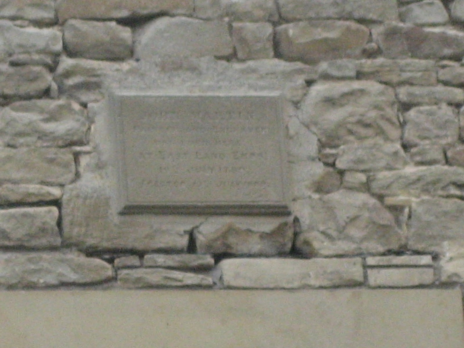
And a plaque to commemorate the artist's birth.
 Poor picture, sorry
 More information.
Continuing along the lane we soon came to Lees Farm. We walked through the farm yard and past a row of cottages before entering a field with several horses and headed uphill towards the first stile of the day. The route heads west across five fields, stiles and gates all displaying "John Martin Trail" markers so it is quite easy to follow, if a little boggy after the recent snow. When we came to a road we turned right downhill for a few hundred yards before turning left, crossing a field and entering Morralee Wood.
This is a National Trust property and has a small tarn supporting some Mallard ducks. If you use the recommended OS map it is labelled, with great originality, The Tarn.
There are several walks in the wood, marked with different coloured arrows, make sure you find and follow the John Martin ones, initially uphill and then forking to the right and going downhill to the banks of the River Allen.
We followed the path as it meandered along the bank until we came to Plankey Mill, a popular picnic and camping site in summer but deserted today and without so much as a table to eat at. So we sat on the stony river bank for lunch, Dave still off the porky pies but Ben brought his ginger biscuits and we had chocolate too. The only birds to be seen in the area were grey wagtails, although other species sang in the woodland.
 Plankey Mill
 Pensive Brian

The River Allen at Plankey Mill.
It has been suggested that Plankey comes from Play Necket or Neck of Floodable Land where Games are played. It is certainly flat enough, and near the river.
Lunch over we continued across fields by the river before entering a wood and There is little left of this fortification beginning the short but steep climb to Staward Peel but it must have been pretty secure when it was built in the English Marches to defend the area in the long wars against the Scots.
 How it looked when new
 remains of the gate.
Staward Peel is on a high narrow neck of land with steep drops on either side, a bit like a Madeiran Levada in places, with several notices advising walkers to take care, especially with their children|!
The path beyond the peel took us across a field, Harry spotted a deer, back into the wood, downhill, across a stream and uphill again. Emerging from the wood we crossed a field to the farm at Harsondale, turned right down the lane and after a few hundred yards left the John Martin Trail by crossing a stile on the left and crossing a few fields, very wet and with snow remaining against the walls, until we came to the farm at Silly Wrea.
This farm is famous for its use of horsepower to plough and pull. I was looking forward to this as it reminds me of my childhood days on my uncle's farm near Haworth in Bronte country. He had a horse that provided power for the mowing machine, the rakes and the cart for taking the hay to the barns. Sadly the horses were not out today but he lambs were very friendly!
 Boot sniffing lamb
 Some authorities maintain it means "Happy Nook"
as Silly is old English for Happy. others say it means The Nook where Sallows or Shrubby Willows Grew. Nice name anyway.
 Brian finds a friend.
The lady of the farm told us that the prolonged bad weather had seriously affected the years lambs. The Ewes were not producing sufficient milk for their offspring and some had been lost in the snow.
Normally at this point we would take a path left across fields but as the sheep had been unsettled by the weather we went straight down the lane, turned left and at the next junction, Lough Green, turned right and took the lane across fields to a cottage on a T junction, and back on the John Martin Trail. Following the road east we came to Castle Farm and Langley Castle.
 Information Board for.....
 Langley Castle in the mist. Hotel and tea room
Across the road from the castle a marker for the trail took us through woods, across a few fields, through woods high above a stream and finally we emerged on a road. We turned right, went under the A69 and turned right across a playing field before arriving back at the car park.
Changed we headed for the Boathouse at Wylam with its large selection of beers. Sadly I was driving.

My book on Cumbrian Gate Fastenings is making little progress so I have headed on in a slightly different but related direction, The Stiles of the North of England. many of the modern ones are little more than ladders but here are some examples of stiles you may meet in the north.
 Note how easy it is to attach a marker to this modern, wooden stile
 Ben demonstrates the correct way to cross a stile

Pretty consistent.
 Bird of the blog;
Not the best day for birds, crows, possibly a sparrow hawk nest or two, gulls, finches, long btailed tits and blue tits but the bird of the blog is the grey wagtail seen on the river at Plankey Mill.
 Grey Wagtail
And a book of the blog, if you can find it!
The Last Horsemen by Charles Bowden
A year at Silly Wrea, Britain's only Horse Powered Farm
Publisher Andre Deutsch
Plus,
The Last Shepherds by the same author.
DD Brian, me
the Willows grow............. April 12th
Today's walk is almost a repeat of Martin in the Fields.May 4th 2012, with a slight deviation.
The weather has again deterred us from driving to the Lake District as we are promised some rain and a definitely damp day. Instead we are walking the John Martin Art trail from Haydon Bridge, his birthplace in 1789.

Ink, blood and Magic by John Martin.
He specialised in dramatic scenes, often biblical.
Proper pictures, non of your modern stuff.
There are six gadgies on parade today, mm, vm, pm,hm, rm, and bm and we met in the Wentworth Café which is in the large car park in Hexham which also contains a Waitrose Supermarket and a sports centre. The café is the white building next to the steps leading to the town centre. It is a comfortable place, friendly staff and good service. Those of us who indulged in a bacon sandwich which came in a fresh roll, awarded the establishment 5 flitches +T.
After breakfast we headed for Haydon Bridge further west along the A69, turned into the town and then turned left past the Anchor Hotel and parked in the space just above the Shaftoe school.
For this walk a map is useful, it is covered by OS OL 43, Hadrian's Wall. This map is printed on both sides and conveniently the walk is on the edges! Photo copy and laminate if you want. The Shaftoe school car park is at GR 843641..

taken at the Shaftoe School.

in1685. Whether or not he was related to Bobby Shaftoe
I do not know, but it is a nice looking building.
The walk;
We went down the hill from the car park, turned left and then almost immediately took the right fork past some fairly new houses to the first point of interest on the John Martin Trail, East Land Ends, the farm cottage where he was born. It has a wonderful notice to deter visitors:

And a plaque to commemorate the artist's birth.

Continuing along the lane we soon came to Lees Farm. We walked through the farm yard and past a row of cottages before entering a field with several horses and headed uphill towards the first stile of the day. The route heads west across five fields, stiles and gates all displaying "John Martin Trail" markers so it is quite easy to follow, if a little boggy after the recent snow. When we came to a road we turned right downhill for a few hundred yards before turning left, crossing a field and entering Morralee Wood.
This is a National Trust property and has a small tarn supporting some Mallard ducks. If you use the recommended OS map it is labelled, with great originality, The Tarn.
There are several walks in the wood, marked with different coloured arrows, make sure you find and follow the John Martin ones, initially uphill and then forking to the right and going downhill to the banks of the River Allen.
We followed the path as it meandered along the bank until we came to Plankey Mill, a popular picnic and camping site in summer but deserted today and without so much as a table to eat at. So we sat on the stony river bank for lunch, Dave still off the porky pies but Ben brought his ginger biscuits and we had chocolate too. The only birds to be seen in the area were grey wagtails, although other species sang in the woodland.


The River Allen at Plankey Mill.
It has been suggested that Plankey comes from Play Necket or Neck of Floodable Land where Games are played. It is certainly flat enough, and near the river.
Lunch over we continued across fields by the river before entering a wood and There is little left of this fortification beginning the short but steep climb to Staward Peel but it must have been pretty secure when it was built in the English Marches to defend the area in the long wars against the Scots.


Staward Peel is on a high narrow neck of land with steep drops on either side, a bit like a Madeiran Levada in places, with several notices advising walkers to take care, especially with their children|!
The path beyond the peel took us across a field, Harry spotted a deer, back into the wood, downhill, across a stream and uphill again. Emerging from the wood we crossed a field to the farm at Harsondale, turned right down the lane and after a few hundred yards left the John Martin Trail by crossing a stile on the left and crossing a few fields, very wet and with snow remaining against the walls, until we came to the farm at Silly Wrea.
This farm is famous for its use of horsepower to plough and pull. I was looking forward to this as it reminds me of my childhood days on my uncle's farm near Haworth in Bronte country. He had a horse that provided power for the mowing machine, the rakes and the cart for taking the hay to the barns. Sadly the horses were not out today but he lambs were very friendly!


as Silly is old English for Happy. others say it means The Nook where Sallows or Shrubby Willows Grew. Nice name anyway.

The lady of the farm told us that the prolonged bad weather had seriously affected the years lambs. The Ewes were not producing sufficient milk for their offspring and some had been lost in the snow.
Normally at this point we would take a path left across fields but as the sheep had been unsettled by the weather we went straight down the lane, turned left and at the next junction, Lough Green, turned right and took the lane across fields to a cottage on a T junction, and back on the John Martin Trail. Following the road east we came to Castle Farm and Langley Castle.


Across the road from the castle a marker for the trail took us through woods, across a few fields, through woods high above a stream and finally we emerged on a road. We turned right, went under the A69 and turned right across a playing field before arriving back at the car park.
Changed we headed for the Boathouse at Wylam with its large selection of beers. Sadly I was driving.

My book on Cumbrian Gate Fastenings is making little progress so I have headed on in a slightly different but related direction, The Stiles of the North of England. many of the modern ones are little more than ladders but here are some examples of stiles you may meet in the north.


A classic stone stile.
The Matrix MMDCVII
steps miles
My ASDAPED 22825 10.49
Higear 22053 10.43
Daves Asda 23154 10.18
LIDLPED 23550 10.40
OUTDOOR GPS 11.0
Brian's GPS 11.0
Ben's Bragometer 11.0

Not the best day for birds, crows, possibly a sparrow hawk nest or two, gulls, finches, long btailed tits and blue tits but the bird of the blog is the grey wagtail seen on the river at Plankey Mill.
And a book of the blog, if you can find it!
The Last Horsemen by Charles Bowden
A year at Silly Wrea, Britain's only Horse Powered Farm
Publisher Andre Deutsch
Plus,
The Last Shepherds by the same author.
DD Brian, me


