Take a head torch, who knows.
For this walk we were joined by Brian. Strictly speaking he is not a Gadgie until January 2012 when he gets his bus pass but is welcome, if only for his dreadful puns.
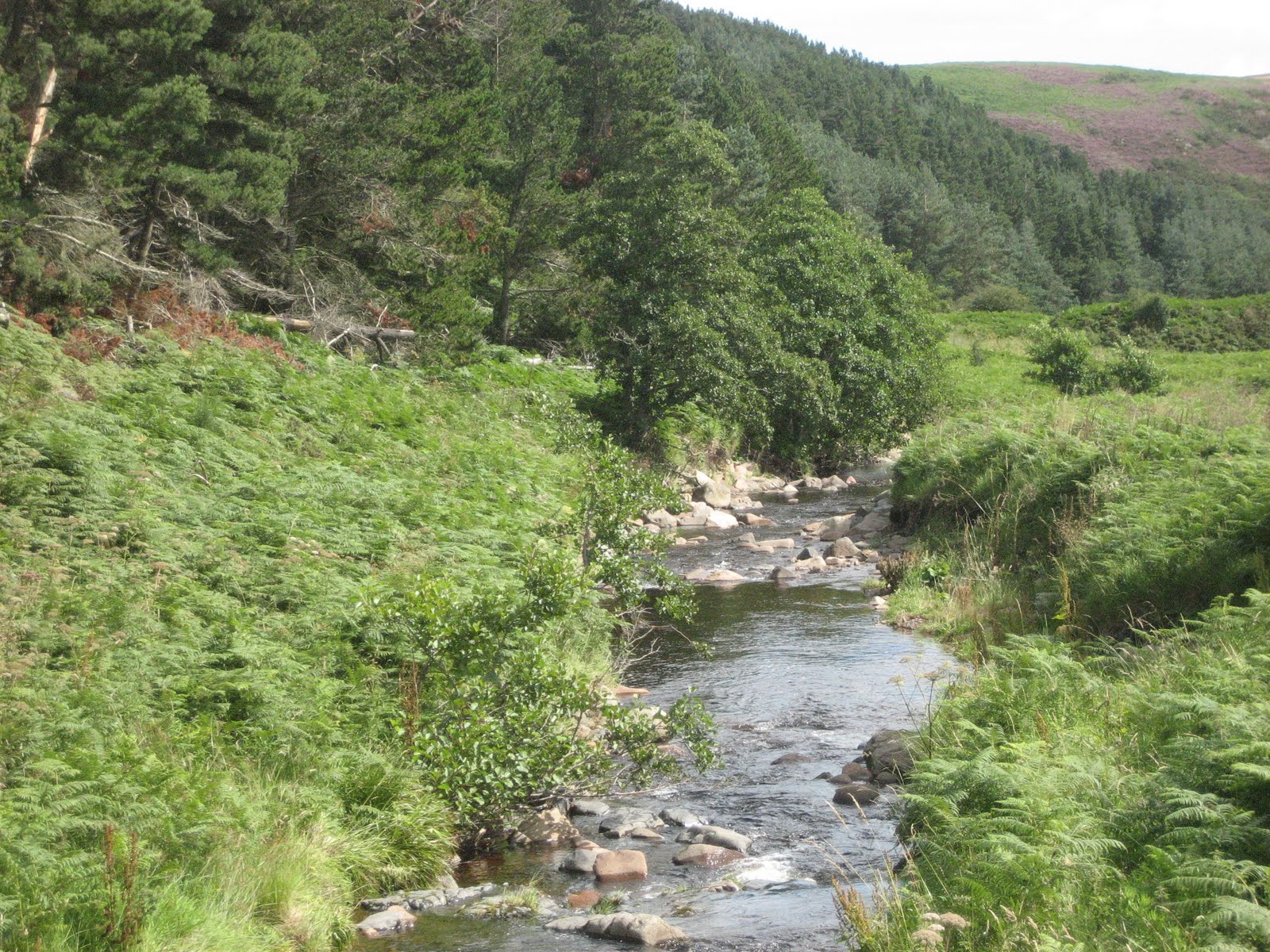
The walk is from Hepburn Wood by way of Ros Castle, Cateran Hill, Harehope, Blawearie and back to the wood.
From Newcastle take the A1, go through Alnwick, turn left at the castle entrance, saying "Hello Hogwarts " or "Hello Blackadder" and follow the B6346 through Eglingham and Old Bewick. About one mile after Old Bewick take the right fork and after two more miles a signpost points to Hepburn Wood on the right. There is a carpark with a noticeboard, useful to sit on when changing into your boots. (On OS Landranger 75 the carpark is at 071 247)
From the carpark a forest track leads into Hansel and Gretel land but to avoid being captured by an ugly witch take the path which is a few yards down the track on the left. This steep path leads up through the wood and after a bit of a scramble there is a hill fort.*
As I said, Dave is an archaeologist and can explain stones and things. "That's your fort for the day," quipped Brian.
A path leads through the heather and crosses a minor road and continues up to Ros Castle. There is a viewpoint with four plaques pointing in the directions of all the things you can see if it is a clear day. You can also look down on the famous White Cattle in Chillingham Castle, probably the safest place to view them as, apparently, they have never been tamed and domesticated. Personally I think this is put about to get people to visit the castle. You can probably buy wild cattle cheese and icecream in there too.
From Ros Castle a hardly existing path leads almost directly eastwards through the heather between two plantations. At the far corner of the northern plantation turn roughly South East and cross the fields to a minor road. Hit the right gate and on the opposite side of the road is a sign post pointing in the direction of Cateran Hill. Follow it and after about a mile turn left on the track that leads up to the cairn. This, as young lady columnists would write, IS WHERE IT GETS INTERESTING. ( Have you ever noticed that young lady columnists tend to have at least a couple of young kids so that they can discuss the school run, mock their helicopter parent friends yet secretly send their own brats off on spelling bees and walks in the country like this) I digress.
Near the top of Cateran Hill, off to the left of the path by about 100 yards is the Cateran hole. This natural fissure is quite difficult to find but is worth the effort. It appears to be a hole in the ground but hidden by bracken are a few steps that take you down into the narrow cavern some 200 yards long. It is damp and mossy but worth a visit. At the entrance when we went today there was a plastic folder containing a poem written about the hole and by the local McConagal. It is also a good Herbie spot.
Cateran comes from the Gaelic and means "hairy Scottish Highlander Warrior". They probably hid here in the days of border wars, stashing their whisky and sporrans for a good party after a bit of local rape and pillage.
Back to the path and follow it over the hill. As you approach a farm track there is on the right a lonely looking Rowan tree Next to it is a small enclosure with a memorial to a young man who died at the age of 28 and a stone to "Doogie" who lived for 5 years, perhaps he was the young man's shepherd dog. On to the track and turn right, just before it becomes a tarmacced road turn right through a small wood and wander the path to Harehope. a farm and small collection of cottages. Turn right through through a couple of gates and take a meandering path past another fort for the day until you arrive at Blawearie.**
This tumbledown farm has not been occupied since the 1940s. Harry says he has a picture of it that he took about 30 years ago and it had a roof then, now it has walls, the remains of a netty and a couple of swings put into the trees. They look quite new. Stan Beckensall wrote books on Northumberland place names but seems to have been beaten by Blawearie. Godfrey Watson reckons on "Troublesome Wind" and it is a rather bleak and isolated place so hats off to you Godfrey.
Behind the remains of the house atrack leads North East, follow it but take the first track on the left and wander across a heather moor to Hepburn Woods. Keep close to the edge of the wood and back at the first fort follow the rough path back to the carpark.

Blawearie.

On the way back to Newcastle the Tankerville Arms in Eglingham is worth a visit. Food, real ale and friendly staff. Sadly I was driving.
Some of us wear pedometers on our walks, it is quite legal.
They vary considerably and result in much discussion. Mine said the walk was 8.188 miles but I thought it was a good 10. I measured it on the map with a precision built German map measurer as 9.3 miles so I reckon with a bit of wandering 10 is fair enough. Anyway it felt like 10 .
*There are many hillforts in Northumberland. English Heritage has published Hillforts; Prehistoric strongholds of Northumberland National Park by Al Oswald et alia.
** Google it, get all the details. I think that the farmer had three young daughters, Under different circumstances we could have had Blawearie Heights; The Tenant of Harehope Hall or Jane Armstrong. Thosands of Japanese tourists would have thronged to Northumberland instead of Haworth and" Pig o'le door" would have a different name.
Enough